 Français (France)
 English (UK)
 English (US)
 Deutsch (Deutschland)

Contents
Six in the evening at a hut above the Val Ferret: boots drying in the entryway, a long table filling up, hikers comparing notes on tomorrow’s pass. On the Tour du Mont-Blanc, that’s how most days end, as long as the bed was booked. In TMB huts, dinner usually comes around 6:30 or 7 p.m. and lights go out around 10 [1]. Everything before that, from the booking to the bus, is what this guide is about.
The TMB at a glance: 110 miles, three countries
The Tour du Mont-Blanc loops around the Mont Blanc massif through France, Italy and Switzerland: about 110 miles (170 km) and roughly 33,000 feet (10,000 m) of total climbing, topping out around 8,500 feet (2,600 m) on the classic route, according to the cross-border Espace Mont-Blanc website [2]. The official TMB website counts 10 to 11 stages, each a day’s walk of 6 to 12 miles (10 to 20 km), with climbs that can top 3,300 feet (1,000 m) [3]. No mountaineering gear is needed: the trails are well marked [1].
| What | Figure |
|---|---|
| Distance | About 110 miles (170 km) |
| Total climbing | About 33,000 feet (10,000 m) |
| High point, classic route | About 8,500 feet (2,600 m) |
| Stages | 10 to 11, of 6 to 12 miles (10 to 20 km) each |
| Days | 7 at an athletic pace, 9 to 10 at a balanced one, 11 to 12 to take it easy |
| Season | Mid-June to mid-September |
| Lodging | €65 to €95 a night, dorm with half board |
Sources: Espace Mont-Blanc (distance, climbing, high point) and the official TMB website (stages, days, season, lodging), accessed October 22, 2026.
Most people walk it counterclockwise, the most common and best-marked direction; going clockwise can make it easier to find beds if your dates are fixed [1]. The classic start is Les Houches, near Chamonix, but you can also begin in Courmayeur, Les Contamines, Champex, Trient or several other villages [2].
Follow the green TMB logo, round or square, which runs the whole loop next to the local markings: red and white in France, yellow in Italy, and in Switzerland yellow or white-red-white, the latter for mountain trails that can include exposed or technical sections [3].
The route, section by section
Here is the classic counterclockwise loop as the Espace Mont-Blanc describes it, in seven sections. They are not days: where each day ends depends on the beds you manage to book [2].
| Section | Key points | Main variant |
|---|---|---|
| 1. Les Houches to Les Contamines-Montjoie (France) | Col de Voza, Bionnassay, Champel | Col de Tricot, Chalets de Miage, Truc |
| 2. Les Contamines to Rifugio Elisabetta (France, then Italy) | Notre-Dame de la Gorge, Col du Bonhomme, Col de la Croix du Bonhomme, Les Chapieux, Col de la Seigne | Col des Fours |
| 3. Rifugio Elisabetta to Courmayeur (Italy) | Lac Combal, Col Chécrouit, Dolonne | None listed |
| 4. Courmayeur to Rifugio Bonatti (Italy) | Villair, Rifugio Bertone | Tête Bernarda, Col Sapin, Malatrà |
| 5. Rifugio Bonatti to La Peule (Italy, then Switzerland) | Arnouvaz, Rifugio Elena, Grand Col Ferret | Petit Col Ferret, La Léchère |
| 6. La Peule to Col de la Forclaz (Switzerland) | La Fouly, Praz-de-Fort, Champex-Lac, Bovine | Fenêtre d’Arpette |
| 7. Col de la Forclaz to Les Houches (Switzerland, then France) | Trient, Col de Balme, Tré-le-Champ, La Flégère, Col du Brévent | Vallorcine and Col des Montets |
Source: Espace Mont-Blanc, Tour du Mont Blanc route description, accessed October 22, 2026. A variant can be harder or easier than the main route.
One stretch has no phone signal at all: the official site warns that the main dead zone runs from the Pont Romain in Les Contamines to Lac Combal, through the Chapieux valley and over the Col de la Seigne. Let people at home know you may be out of touch for a day or more [4].
Booking the huts: summer 2027 is already open
Bookings for summer 2027 opened on October 15, 2026, for all the huts in the hut keepers’ association, the Association des Gardiens de Refuges du Tour du Mont-Blanc, on the official TMB website. The site strongly recommends booking ahead, and calls it essential in high season: the most popular huts are often full several months out [1].
The steps: create an account, choose a date, a starting point, the type of lodging and the number of hikers, compare availability, then pay a deposit. You can change your dates from your account up to 30 days before arrival; after that, you deal with the hut directly [1]. Huts outside the association, founded in 2011, can’t be booked on the site, so contact them on your own [1] [5].
Huts run on a schedule: arrivals between 4 and 6 p.m., dinner around 6:30 or 7, lights out around 10, and early starts. The official site suggests arriving at least an hour before dinner. For a dorm, a sleeping bag liner, earplugs and a towel will be your friends [1]. Our guide to staying in a mountain hut covers the house rules.

What the TMB costs
For a hiker booking huts directly, the official site puts a night in a dorm with half board, meaning dinner and breakfast, at about €65 to €95, and lodging for a 7- to 10-day trek at €500 to €900 [1]. Lunches, drinks, buses and lifts come on top. The site also recommends adding mountain rescue insurance, including helicopter costs, to the cancellation cover offered at booking [6].
Getting there from Geneva
Geneva Airport is the nearest major airport, 55 miles (88 km) from Chamonix, according to the Chamonix tourist office. FlixBus runs daily between the airport and Chamonix, and airport shuttles can be booked online. By rail, the Léman Express links Geneva Airport to Saint-Gervais-Le Fayet station, where the Mont-Blanc Express continues up the valley; from Geneva’s main station, Cornavin, Chamonix is about 2 hours 40 minutes away by train [7].
| Option | Route | Good to know |
|---|---|---|
| Bus | Geneva Airport to Chamonix | FlixBus runs daily |
| Shuttle | Geneva Airport to Chamonix | Book online in advance |
| Train | Geneva Airport to Saint-Gervais-Le Fayet (Léman Express), then the Mont-Blanc Express | Stops include Les Houches and Chamonix |
| Train | Geneva Cornavin to Chamonix | About 2 hours 40 minutes |
Source: Chamonix-Mont-Blanc tourist office, accessed October 22, 2026; Mont-Blanc Express stops from the official TMB website. Check schedules before you travel.
The loop itself is well served. Chamonix, Les Houches, Courmayeur, Bourg-Saint-Maurice and Champex are the main access points by train or bus, a bus links Chamonix to Courmayeur through the Mont Blanc Tunnel, and Swiss buses and trains serve La Fouly and Champex. Public transport can also be your way off the trail after an injury. One catch: dogs aren’t allowed on the Les Chapieux shuttles [4].
When to go
The season runs from mid-June to mid-September, when the passes are clear of snow and the huts are open [1]. Each month gives a different trip [4].
| When | What to expect |
|---|---|
| June | Lingering snow; trails and signs can be hard to find, map-reading is essential, and poles or even crampons may be needed |
| July and August | The busiest months, with the most hikers and the most services open |
| September | Quieter trails, shorter days and cooler temperatures |
| Later in the fall | Cold nights and possible snow on the summits: pack gloves, a hat and a headlamp |
Sources: official TMB website, Planning your Tour and FAQ pages, accessed October 22, 2026.
Fitness, gear and who it suits
The TMB takes no technical skills, but it does take endurance: 5 to 8 hours of walking a day, several days in a row, with a pass to climb and descend almost every day. The official site recommends training with a pack of 18 to 22 pounds (8 to 10 kg) [1]. On the trail, aim for a 35- to 45-liter pack weighing no more than 18 to 26 pounds (8 to 12 kg), broken-in boots, a waterproof jacket, a three-layer clothing system and trekking poles [4].
- 7 days: for athletic, experienced hikers comfortable with long, demanding stages [4].
- 9 to 10 days: the most popular format, with stages of 9 to 12 miles (15 to 20 km) and time to enjoy the huts [4].
- 11 to 12 days: shorter stages, time for photos, panoramas and variants [4].
- With kids: over age 10, on a 10- to 12-day itinerary with family-friendly huts; the official site advises against bringing a baby [1].
Dogs are possible but complicated: check that each hut accepts them, bring their food, and know that nature reserves on the route ban them, that lifts and some shuttles don’t take them, and that you’ll pass large flocks of sheep watched by guard dogs [1]. To plan your daily hours, see our guide to estimating hiking time.

Can you camp on the TMB?
Only in specific places. The official site says bivouacking is generally allowed only close to certain partner huts and at set hours [1], and every country, town and nature reserve on the route has its own rules [8]:
- Italy, Aosta Valley: all camping is banned, even for less than 24 hours, and bivouacking is banned below 8,200 feet (2,500 m), which covers almost all of the TMB’s Italian section [9].
- Switzerland: wild camping is generally banned, except for a single night, not in a group and above the tree line, or in an emergency; the Valais towns on the route ban it or limit it to campgrounds and designated rest areas [9].
- France: Chamonix bans camping outside campgrounds and allows only high-altitude bivouacs from sunset to sunrise, with outright bans at spots such as Lac Blanc; in the Les Contamines-Montjoie and Aiguilles Rouges nature reserves, you must reserve a spot on a designated area [9] [8].
Rules change, so check them before each night. For the French side, our guide to bivouac rules in France explains the national law. For the Italian side, see our guide to backcountry camping in Italy, region by region.
Gallery: the TMB in six landscapes
Six real photos of the trail and its surroundings, following the loop from Les Houches, published under free licenses on Wikimedia Commons by their photographers, who are credited under each image. Tap or click a photo to enlarge it.
Gear related to this article
No affiliation: no commission, no sponsored products.
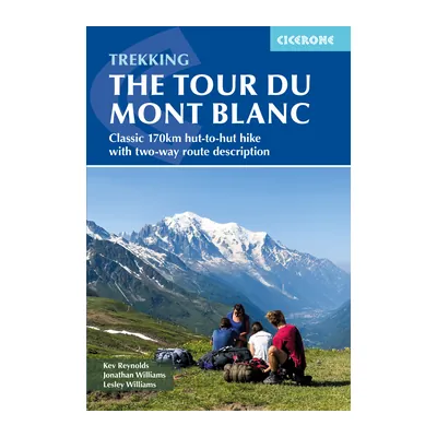
Trekking the Tour du Mont Blanc (Cicerone)
The classic 105-mile hut-to-hut loop through France, Italy and Switzerland, described in both directions; sixth edition, reprinted in October 2025.
View on Amazon (opens in a new tab)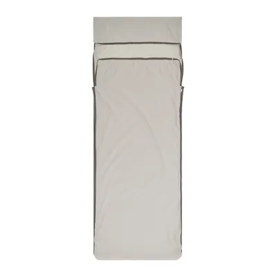
Sea to Summit Silk Blend Liner (Rectangular)
A 5.6 oz rectangular sleeping bag liner, 28% silk, with a sleeve that slips over the hut pillow: the sheet and pillowcase that mountain huts ask you to bring.
View on Amazon (opens in a new tab)
Worth watching
Trailblazer guidebook author Jim Manthorpe breaks down the TMB stage by stage, with maps, from Les Houches through Courmayeur, La Fouly, and Champex, so you can picture each day on the trail.
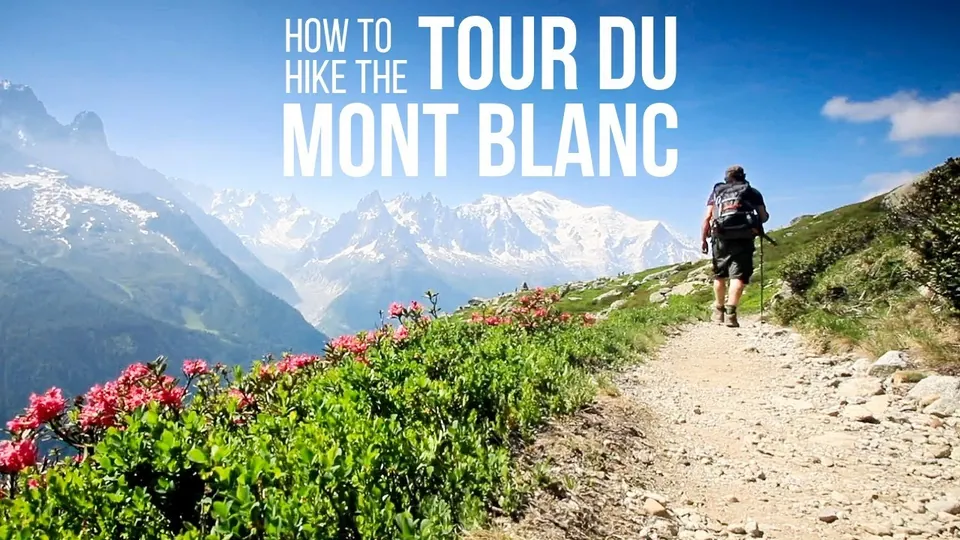
The video is hosted by YouTube (Google): nothing loads until you play it, and Google may then set cookies.
FAQ
How many days does it take to hike the Tour du Mont-Blanc?
Usually 7 to 12, depending on your pace. The official TMB website describes 7 days as an athletic format for experienced hikers, 9 to 10 days as the most popular, with 9 to 12 miles a day, and 11 to 12 days as a relaxed pace that leaves time for variants. The loop is usually split into 10 to 11 stages.
When do Tour du Mont-Blanc hut reservations open for 2027?
Bookings for summer 2027 opened on October 15, 2026, for all the member huts of the TMB hut keepers’ association, on the official website. The site says booking ahead is strongly recommended, and essential in high season, because the most popular huts are often full several months in advance.
How much does the Tour du Mont-Blanc cost?
For lodging, the official site gives about €65 to €95 a night in a dorm with half board, or €500 to €900 for a 7- to 10-day trek. Add lunches, drinks, transport and insurance: the site recommends cancellation cover and mountain rescue insurance, including helicopter costs.
Can you wild camp on the Tour du Mont-Blanc?
Mostly no. In the Aosta Valley, camping is banned and bivouacking is banned below 2,500 m (8,200 ft). Switzerland bans wild camping with narrow exceptions, and Chamonix allows only high-altitude bivouacs between sunset and sunrise. Some huts and designated areas accept tents, sometimes with a required reservation.
How do you get to the Tour du Mont-Blanc from Geneva?
Geneva Airport is 55 miles (88 km) from Chamonix. FlixBus runs daily from the airport to Chamonix, shuttles can be booked online, and the Léman Express train links the airport to Saint-Gervais-Le Fayet, where the Mont-Blanc Express continues to Les Houches, the classic start, and Chamonix.
Sources
- Official Tour du Mont-Blanc website, FAQ, accessed October 22, 2026. montourdumontblanc.com https://www.montourdumontblanc.com/en/faq ↩
- Autour du Mont-Blanc, Espace Mont-Blanc website run by Fondazione Montagna Sicura, Tour du Mont Blanc (in French), route description, accessed October 22, 2026. autourdumontblanc.com https://www.autourdumontblanc.com/itineraires/tous-les-itineraires/tour-du-mont-blanc ↩
- Official Tour du Mont-Blanc website, The Tour du Mont-Blanc route, accessed October 22, 2026. montourdumontblanc.com https://www.montourdumontblanc.com/en/the-route ↩
- Official Tour du Mont-Blanc website, Planning your Tour, accessed October 22, 2026. montourdumontblanc.com https://www.montourdumontblanc.com/en/get-ready ↩
- Official Tour du Mont-Blanc website, About the Tour, accessed October 22, 2026. montourdumontblanc.com https://www.montourdumontblanc.com/en/about ↩
- Official Tour du Mont-Blanc website, Terms and conditions of sale, last updated August 2026, accessed October 22, 2026. montourdumontblanc.com https://www.montourdumontblanc.com/en/cgv ↩
- Chamonix-Mont-Blanc tourist office, Comment venir ? (in French), accessed October 22, 2026. chamonix.com https://www.chamonix.com/infos-et-services/comment-venir ↩
- Official Tour du Mont-Blanc website, Bivouacking on the Tour du Mont-Blanc, accessed October 22, 2026. montourdumontblanc.com https://www.montourdumontblanc.com/en/wild-camping ↩
- Autour du Mont-Blanc, Espace Mont-Blanc website, Bivouac et camping sauvage (in French), accessed October 22, 2026. autourdumontblanc.com https://www.autourdumontblanc.com/hebergements/bivouac ↩

Camping, backpacking, bushcraft and hiking
Guillaume Hoarau writes for Outfarer about camping, backpacking, bushcraft, and hiking. A survival-skills buff and a collector of vintage field manuals, he loves clear explanations, lists that actually help and other people’s stories, which he tells well.

 Nolwenn Bastide

